Schutzgebietskataster/en: Unterschied zwischen den Versionen
Aus Geoportal
(Übernehme Bearbeitung einer neuen Version der Quellseite) |
Tschug (Diskussion | Beiträge) K (→Description) |
||
| (13 dazwischenliegende Versionen von 2 Benutzern werden nicht angezeigt) | |||
| Zeile 1: | Zeile 1: | ||
__NOTOC__ |
__NOTOC__ |
||
| − | == |
+ | == Protected area registry == |
| − | <p>[[File:Schutzgebiete.jpg|alt= |
+ | <p>[[File:Schutzgebiete.jpg|alt=Protected area registry|600px|link=//{{SERVERNAME}}/mapbender/frames/index.php?lang=de&gui_id=Geoportal-SL-2020&WMC=2988]]</p> |
== Viewer == |
== Viewer == |
||
| − | <p><strong>[//{{SERVERNAME}}/mapbender/frames/index.php?lang=de&gui_id=Geoportal-SL-2020&WMC=2988 |
+ | <p><strong>[//{{SERVERNAME}}/mapbender/frames/index.php?lang=de&gui_id=Geoportal-SL-2020&WMC=2988 Go to application: ‘Protected area registry’]</strong></p> |
| − | == |
+ | == Description == |
| + | <p>The ‘Protected area registry’ application presents an extensive collection of official thematic geographic data on conservation work in Saarland.</p> |
||
| − | <p>Die Anwendung „Schutzgebietskataster“ ist eine umfangreiche Datensammlung über die amtlichen Geofachdaten des Naturschutzes im Saarland.</p> |
||
| + | <p>In particular, the application includes the following geoinformation:</p> |
||
| − | <p>Die Anwendung enthält insbesondere folgende Geoinformationen:</p> |
||
| − | <div class="mw-translate-fuzzy"> |
||
<ul> |
<ul> |
||
| − | <li> |
+ | <li>Nature reserves</li> |
| − | <li> |
+ | <li>Special Areas of Conservation (SACs)</li> |
| − | <li> |
+ | <li>Bird sanctuaries</li> |
| − | <li> |
+ | <li>Protected landscape areas</li> |
| − | <li> |
+ | <li>Biosphere Bliesgau</li> |
| − | <li> |
+ | <li>Saar-Hunsrück Nature Park</li> |
| − | <li> |
+ | <li>Natural monuments</li> |
| − | <li> |
+ | <li>Forest reserves</li> |
| − | <li> |
+ | <li>Old-growth forest close to urban environments</li> |
| − | <li> |
+ | <li>Hunsrück-Hochwald National Park (Saarland section)</li> |
| − | <li> |
+ | <li>Biotope mapping</li> |
| − | <li> |
+ | <li>Core and biotope cluster areas</li> |
| + | <li>Natura 2000 habitat types as defined in law</li> |
||
| − | <li>Wasserschutzgebiete</li> |
||
| + | <li>Water protection areas (established and planned)</li> |
||
</ul> |
</ul> |
||
| − | </div> |
||
| + | <p>An information query can be used to display the attribute data for a specific object.</p> |
||
| − | <p>Über eine Informationsabfrage können die Sachdaten eines Objektes angezeigt werden.</p> |
||
== Downloads == |
== Downloads == |
||
<ul class="box" style="margin-top: 0px;"> |
<ul class="box" style="margin-top: 0px;"> |
||
| − | <li class="download">[//{{SERVERNAME}}/article/Download_Schutzgebietskataster/ Download |
+ | <li class="download">[//{{SERVERNAME}}/article/Download_Schutzgebietskataster/ Download thematic geographic data]</li> |
</ul> |
</ul> |
||
Aktuelle Version vom 6. März 2023, 13:47 Uhr
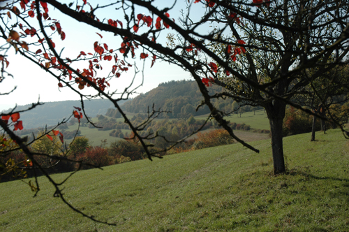
Protected area registry
Viewer
Go to application: ‘Protected area registry’
Description
The ‘Protected area registry’ application presents an extensive collection of official thematic geographic data on conservation work in Saarland.
In particular, the application includes the following geoinformation:
- Nature reserves
- Special Areas of Conservation (SACs)
- Bird sanctuaries
- Protected landscape areas
- Biosphere Bliesgau
- Saar-Hunsrück Nature Park
- Natural monuments
- Forest reserves
- Old-growth forest close to urban environments
- Hunsrück-Hochwald National Park (Saarland section)
- Biotope mapping
- Core and biotope cluster areas
- Natura 2000 habitat types as defined in law
- Water protection areas (established and planned)
An information query can be used to display the attribute data for a specific object.
